A CLEARER VIEW OF YOUR ASSETS
Different properties and projects require different capture methods and deliverables. Aerial Logic tailors each inspection, thermal-imaging or progress-monitoring assignment to the site, operational requirements and agreed project scope.
COMMERCIAL PROPERTY
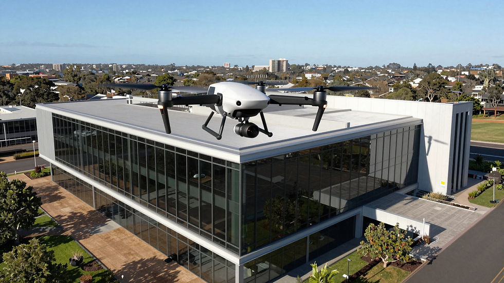
Aerial imagery can provide property owners, managers and consultants with a detailed view of roofs, façades, gutters, external structures and other difficult-to-access areas. The resulting imagery can assist with condition documentation, maintenance planning and further investigation.
- Roof and façade imagery
- Gutter and drainage observations
- External asset documentation
- Support for maintenance planning
CONSTRUCTION
Repeatable aerial capture provides construction teams with a clear visual record of site conditions and project progress. Scheduled flights can help document milestones, support stakeholder updates and maintain consistent imagery throughout the project.
- Construction progress photography
- Aerial site overviews
- Repeatable capture locations
- Organised date-based project records


FACILITIES MANAGEMENT
Drone inspections can help facilities teams review elevated and difficult-to-access building areas while reducing reliance on ladders, scaffolding and elevated work platforms during the initial visual assessment.
- Building-envelope imagery
- Roof and external asset reviews
- Preventive-maintenance documentation
- Visual records for contractors and stakeholders
SOLAR ENERGY
Visual and radiometric thermal imagery can help identify visible damage, contamination and temperature anomalies across commercial solar installations. Findings can support further investigation and maintenance planning by appropriately qualified contractors.
- Visual solar-panel inspections
- Radiometric thermal imagery
- Identification of visible temperature anomalies
- Organised imagery for maintenance review


INSURANCE AND CLAIMS
Detailed aerial imagery can provide a time-stamped visual record of roofs, façades and external property areas following storms, impact events or other reported damage. The imagery can assist insurers, assessors and property professionals with documentation and further review.
- Post-event property imagery
- Roof and façade documentation
- Detailed visual records
- Organised image delivery according to scope
OWNERS CORPORATIONS
Aerial inspections can help Owners Corporations and building managers document shared roofs, façades, gutters and other common-property areas. Clear imagery can support maintenance discussions, contractor briefing and longer-term asset planning.
- Common-property roof imagery
- Façade and gutter documentation
- Visual records for committee review
- Support for contractor scoping

WHY AERIAL INSPECTION?
01
SAFER ACCESS
Reduce the need for people to access elevated or difficult-to-reach areas during the initial visual inspection.
02
EFFICIENT CAPTURE
Document large buildings, sites and asset areas efficiently with planned aerial data collection.
03
CLEAR DOCUMENTATION
Receive detailed, organised imagery that can be reviewed, shared and retained as a project record.
04
TAILORED DELIVERABLES
Capture methods and outputs are planned around the property, project objectives and agreed scope.