DRONE INSPECTIONS
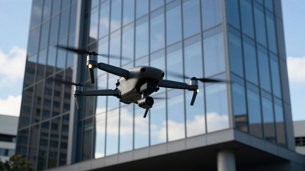
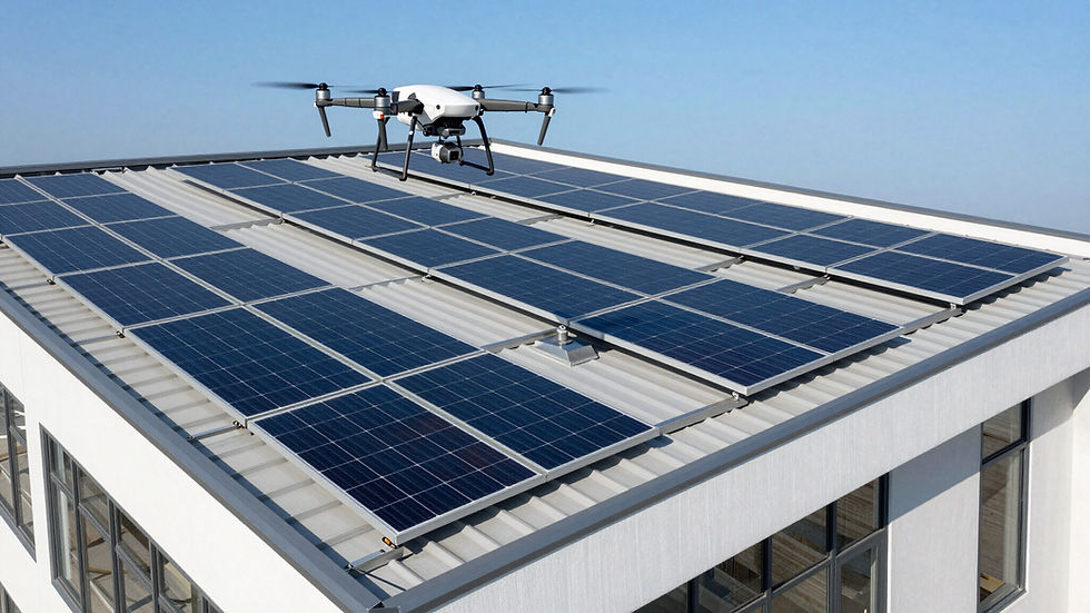
Capture detailed, high-resolution aerial imagery of roofs, façades, gutters, solar installations and other difficult-to-access areas. Drone inspections can reduce the need for ladders, scaffolding and elevated work platforms while providing clear visual documentation for review and reporting.
- High-resolution aerial photographs
- Detailed roof and façade imagery
- Visual condition documentation
- Annotated findings where included in scope
THERMAL IMAGING
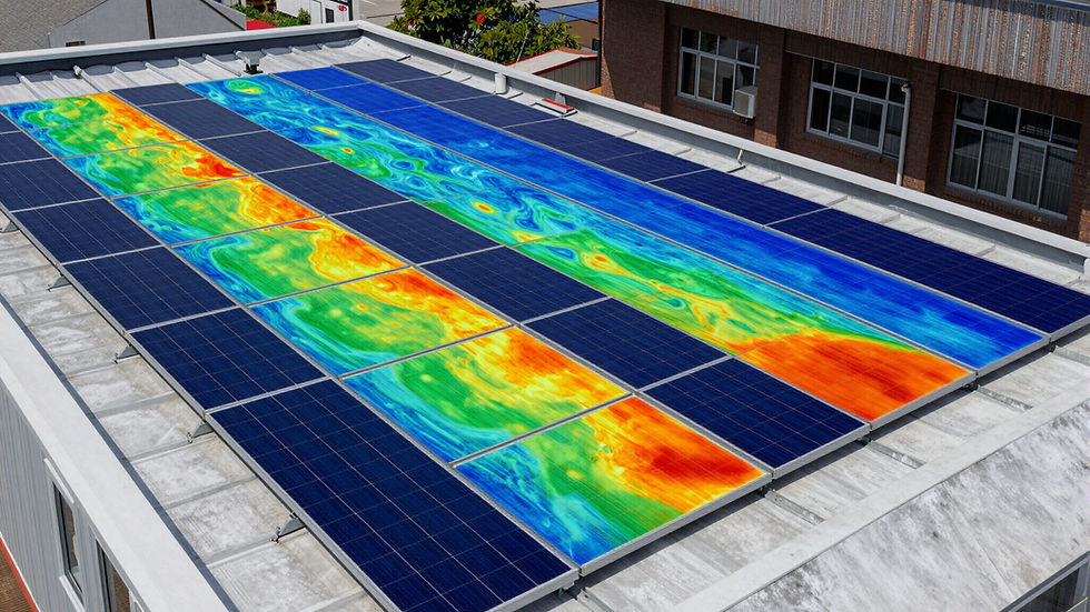
Thermal imaging can help identify temperature anomalies across roofs, façades, solar panels and building assets. Aerial Logic captures radiometric thermal data for review, helping clients investigate potential heat loss, moisture-related concerns, electrical anomalies and solar-panel performance.
- Radiometric thermal imagery
- Visual and thermal image pairing
- Identification of visible temperature anomalies
- Organised image delivery and reporting according to scope
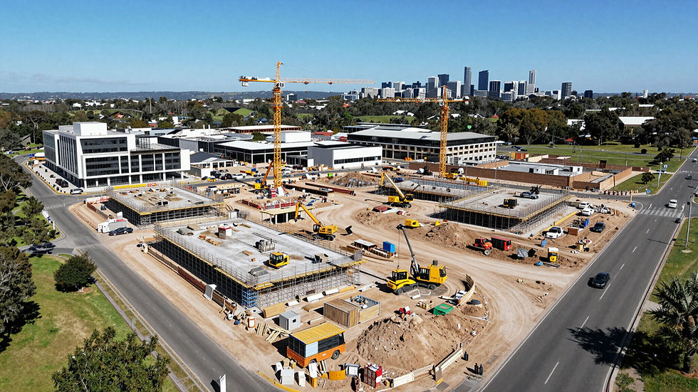
MAPPING & PROGRESS MONITORING
Repeatable aerial imagery helps project teams document site conditions, monitor construction progress and maintain a record over time. Capture plans and deliverables are tailored to the project requirements and agreed scope.
- Aerial site overviews
- Repeatable progress photography
- Orthomosaic mapping where suitable
- Organised date-based project records
THERMAL IMAGING
Thermal imaging can help identify temperature anomalies across roofs, façades, solar panels and building assets. Aerial Logic captures radiometric thermal data for review, helping clients investigate potential heat loss, moisture-related concerns, electrical anomalies and solar-panel performance.
- Radiometric thermal imagery
- Visual and thermal image pairing
- Identification of visible temperature anomalies
- Organised image delivery and reporting according to scope
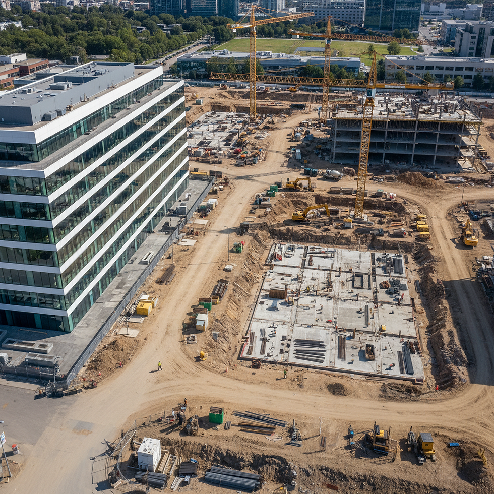
PRE- AND POST-CONSTRUCTION CONDITION DOCUMENTATION
Aerial Logic captures detailed aerial imagery of neighbouring properties and surrounding assets before construction, demolition or excavation begins. A repeat inspection can be completed during or after the works to provide comparable imagery from consistent viewpoints.
The service can document visible external conditions across roofs, façades, gutters, parapets, fences, retaining walls and other difficult-to-access areas. Deliverables may include dated imagery, labelled observations and side-by-side before-and-after comparisons.
This service provides visual condition documentation only. It is not a structural assessment, engineering opinion or statutory dilapidation report. Where a formal professional assessment is required, the imagery can support an appropriately qualified building or engineering consultant.
HOW IT WORKS
01
SCOPE THE PROJECT
We review the location, access, objectives, required outputs and timing.
02
PLAN THE FLIGHT
We assess site conditions, airspace, weather and operational requirements.
03
CAPTURE THE DATA
We collect the agreed visual, thermal or mapping imagery.
04
DELIVER THE RESULTS
You receive organised imagery and reporting tailored to the agreed scope.