BUILT ON PRACTICAL PROPERTY EXPERIENCE
Aerial Logic was established by Adam Evagora, bringing more than 20 years of practical experience working across commercial properties, building maintenance projects and Owners Corporation environments.
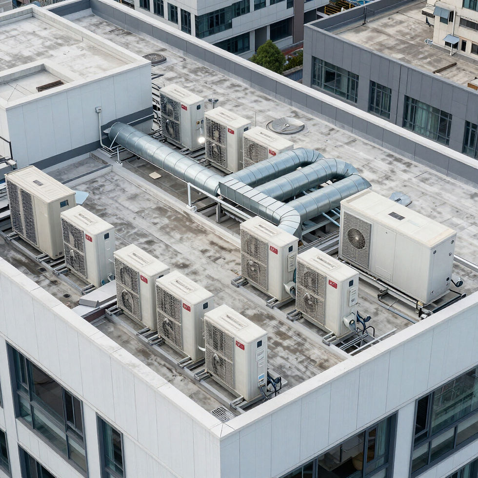
That background provides a practical understanding of the challenges faced by property owners, building managers, facilities teams and contractors when inspecting elevated or difficult-to-access areas.
Aerial Logic combines this property experience with professional aerial data capture to provide clear, organised imagery that supports informed maintenance, investigation and project decisions.
TECHNOLOGY WITH A PRACTICAL PURPOSE
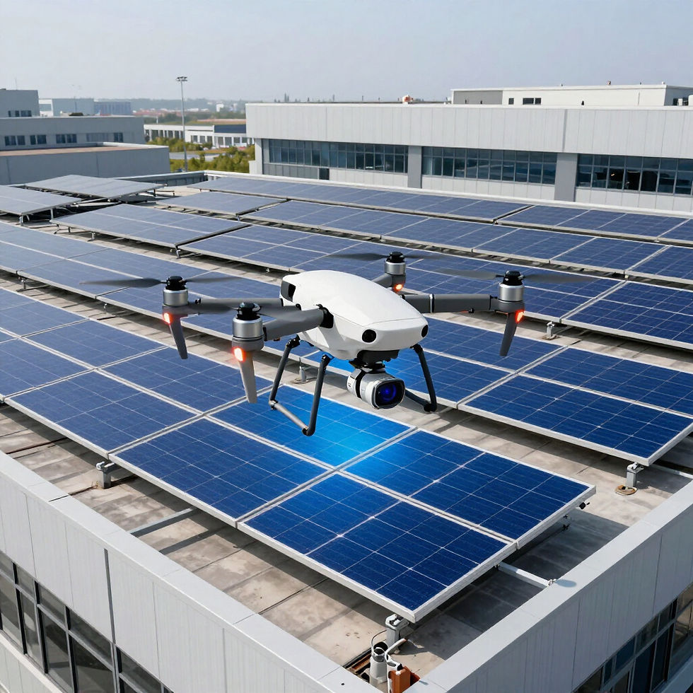
Aerial Logic uses professional drone technology to capture detailed visual and radiometric thermal imagery from elevated and difficult-to-access areas. The selected capture method depends on the property, site conditions and the agreed purpose of the assignment.
- High-resolution visual imagery
- Radiometric thermal data capture
- Repeatable construction-progress imagery
- Aerial mapping where suitable
Technology supports the inspection process, but findings may require further assessment by an appropriately qualified building, engineering, electrical or other specialist consultant.
MELBOURNE AND REGIONAL VICTORIA
Aerial Logic provides services across metropolitan Melbourne and regional Victoria. Project availability depends on the site location, operational requirements, airspace, weather and the requested deliverables.